Now and again things get slow at work, I have some spare time (read bored). Would I rather be somewhere else? Of course! Can I really do that? Not today unfortunately. Next best thing is to review/add/sort photos on my flickr.
Mountains....I love them. Always have, even before taking up skiing / snowboarding. Decided fairly early in life that I had to live close to them, that I would have to sacrifice some things in order to do that. Turns out it wasn't much of a hardship at all.
I will never again live in a place that is flat. Spent to many years doing that. Texas and Holland come to mind.
Some of these shots you will recognize, others you may not. Some I have climbed, others I haven't. Some shots are from ski trips, others from backpacking / hiking. Some are new, some are old. Some are from when we didn't know any better. Have a look if you have time. They are all beautiful to me.
Thursday, March 26, 2009
Monday, March 23, 2009
Cream Puff
What stands out most about this mountain? Why the name of course. Cream Puff. Sounds Simple, sounds easy. Sounds like it might be a nice, pleasant walk to the top. Sounds like whoever named this peak was an escapee from the insane asylum. After several weekends of fairly tough going on some long approaches, we thought we would take it easy on our next one. Cream Puff....a nice, easy cake walk......NOT!
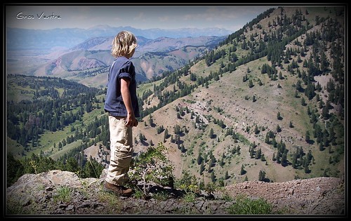
I have to say this was as hard as or harder than some of the higher peaks I had climbed that year - 2005, perhaps because I was mentally geared towards a gentle, smooth easy trail to the top. I guess there really is no such thing as an easy peak in Wyoming. The only thing easy about this one was the drive there. The trail head is 200 ft from a paved road.
I still would like to find the lunatic, who's sick mind took pleasure in giving this peak such a name.
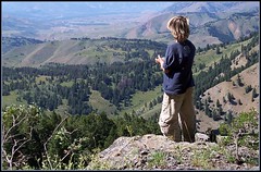
This peak has exceptional views from the top. The Tetons, Wind River, Gros Ventre, Wyoming and Snake River ranges are visible on clear days. The most used starting point for Cream Puff starts at the Poison Creek Trail head. From Jackson, WY drive 13 miles south on 189 to the Hoback Junction, stay left and drive (still on 189) 4.8 miles and turn left onto a small gravel road that terminates in a parking lot after a couple of hundred feet.
The Poison Creek approach is closed to the public from December 1 to April 30. It is to protect the Bighorn Sheep that winter here every year. These Bighorns can sometimes be seen from the main paved road. This area, including Cream Puff, is located in the Gros Ventre Wilderness area and is subject to all the rules normally associated as such.

There are several camping areas, both public and private, nearby. Some restrictions apply due to the popularity of the Snake River Canyon area.
There is a trail that goes up the small drainage, do not take it. Instead hike to the right (east) to top of the grassy ridge. A trail appears near the top and continues up the ridge for 1/2 mile where it enters the trees. It becomes very steep, few switchbacks, and winds along a sometimes shaded, sometimes sunny ridge. The trees thin towards the top and gets a little cliffy in places. Be careful as you make your way around the last of the cliffs on your left and then a short hike to the summit.
This trail is +- 2.5 miles long and gains 3430 feet. A solid class 3 scramble.
Trent and I had a blast though we could have used a bit more water!
Note: There is NO water on the route, bring more than you think you need......
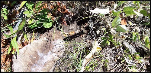
We observed sign of bear(s) in the area on the way up. Many, many rocks overturned and some tracks. There looked to be some sort of cricket (that gradually develop the adult body shape by changing each time they molt, or shed their exoskeleton) that the bears were feeding on. Hundreds and hundreds of these molted exoskeletons littered the side of the lower slopes of this mountain. These bugs, when present, must have been like candy for the bears. Take standard precautions.......

I have to say this was as hard as or harder than some of the higher peaks I had climbed that year - 2005, perhaps because I was mentally geared towards a gentle, smooth easy trail to the top. I guess there really is no such thing as an easy peak in Wyoming. The only thing easy about this one was the drive there. The trail head is 200 ft from a paved road.
I still would like to find the lunatic, who's sick mind took pleasure in giving this peak such a name.

This peak has exceptional views from the top. The Tetons, Wind River, Gros Ventre, Wyoming and Snake River ranges are visible on clear days. The most used starting point for Cream Puff starts at the Poison Creek Trail head. From Jackson, WY drive 13 miles south on 189 to the Hoback Junction, stay left and drive (still on 189) 4.8 miles and turn left onto a small gravel road that terminates in a parking lot after a couple of hundred feet.
The Poison Creek approach is closed to the public from December 1 to April 30. It is to protect the Bighorn Sheep that winter here every year. These Bighorns can sometimes be seen from the main paved road. This area, including Cream Puff, is located in the Gros Ventre Wilderness area and is subject to all the rules normally associated as such.


There are several camping areas, both public and private, nearby. Some restrictions apply due to the popularity of the Snake River Canyon area.
There is a trail that goes up the small drainage, do not take it. Instead hike to the right (east) to top of the grassy ridge. A trail appears near the top and continues up the ridge for 1/2 mile where it enters the trees. It becomes very steep, few switchbacks, and winds along a sometimes shaded, sometimes sunny ridge. The trees thin towards the top and gets a little cliffy in places. Be careful as you make your way around the last of the cliffs on your left and then a short hike to the summit.
This trail is +- 2.5 miles long and gains 3430 feet. A solid class 3 scramble.
Trent and I had a blast though we could have used a bit more water!
Note: There is NO water on the route, bring more than you think you need......
We observed sign of bear(s) in the area on the way up. Many, many rocks overturned and some tracks. There looked to be some sort of cricket (that gradually develop the adult body shape by changing each time they molt, or shed their exoskeleton) that the bears were feeding on. Hundreds and hundreds of these molted exoskeletons littered the side of the lower slopes of this mountain. These bugs, when present, must have been like candy for the bears. Take standard precautions.......

Wednesday, March 18, 2009
Box Canyon Trip - August 18, 2008
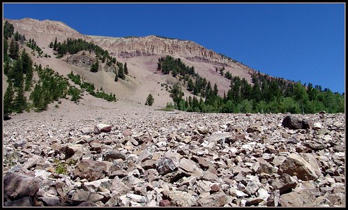
A beautiful day deep in the heart of the Wyoming Range. Box Canyon is not far from the highest point in the range, just a mile or so north of it. A nice trail takes one to the divide and one can continue over into Lunch Creek, or take the Wyoming Range Trail to the north, or to the south! .... Acme Map!
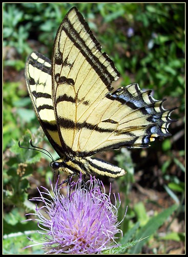
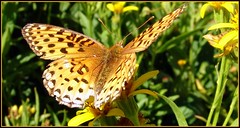
One thing I noticed - Lots of butterflies. Lots. So many that I spent a lot of time trying to photograph them. Burned a lot of time and paid for it with a ride home in the dark, on my scooter, with tinted goggles.....
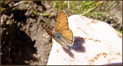
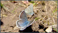
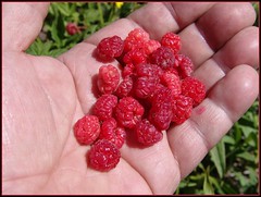
Top it off with some damn delicious thimble berries and killer views!
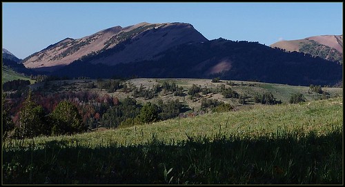
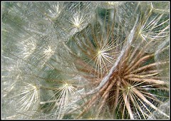
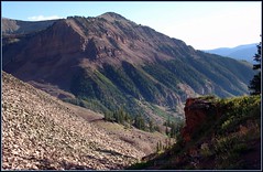
Did I mention the cool waterfall?
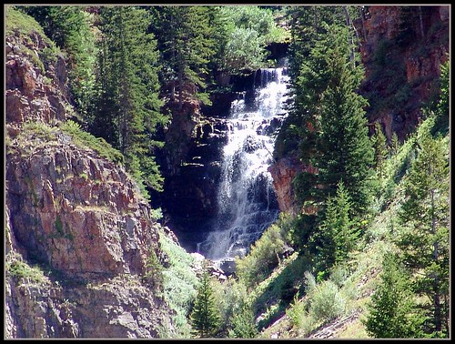
It was a great trip and can't wait to do some additional exploring this summer. Coffin & Virginia Peaks are on the menu!
Monday, March 16, 2009
Trip To Glory - March 14, 2009
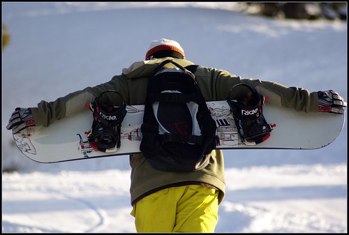
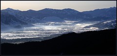
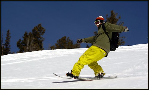
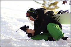
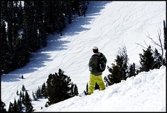
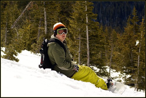
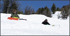
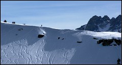
Made a quick Trip up to the Teton Pass on Saturday morning. We would have liked to have waited for the snow to soften a bit, but time constraints didn't allow us that luxury. To be honest - the snow sucked. We waited for as long as we could and then just bit the bullet. The boys negotiated the crust much better than I did, making it look easy. I was having a hard time, and only towards the bottom did I notice one of my bindings was loose. I just thought "Gee, I suck more than usual today!"
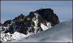
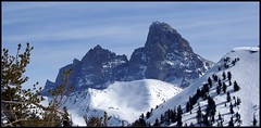
However, just getting out in the sunshine made the trip worthwhile. Any day in the mountains beats sitting around at home. Perhaps next weekend will find us up there again. The views alone are worth it!

Sunday, March 8, 2009
Wednesday, March 4, 2009
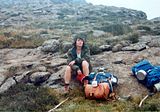
Blast from the Past - Champagne Castle 1981
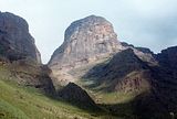
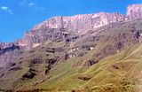
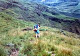
Champagne Castle, nestled in the central region of the magnificent Drakensberg Range in Kwazulu/Natal in South Africa. It is in the "Ukhahlamba Drakensberg Park” containing soaring basaltic buttresses - A barrier of spears, resting on golden sandstone – the “Little Berg”
First climbed by a Major Grantham in 1861. The story is that someone in the party fell and broke a bottle of champagne that was intended for imbibition on the summit.
The park is one of the richest rock painting areas in the world and about 30,000 individually painted images in 520 different rock shelters have been recorded. These were painted by the San people who no longer inhabit this area.
The Drakensberg escarpment forms a border with the mountain kingdom of Lesotho, which lies beyond the high cliffs to the west. They are said to be JRR Tolkien's inspiration for the notorious mountains of Mordor. Tolkien was born nearby in Bloemfontein located in The Orange Free State.
Wildlife abounds here with eland and occasional glimpses of blesbuck, oribi, mountain reedbuck and duiker. Baboons roam the lower slopes. Snakes are common and caution is needed in order to avoid a potentially fatal bite.
Plants and flowers, such as the cycads and Protea are found here and fields full of the colorful Cosmos will dazzle the eye.
This peak can be climbed in one very long day for those who are in a hurry. I recommend taking at least four days. Two days in…two days out. Give yourself time to enjoy this remarkable area.
The photos are old and have faded over the years, please be kind!


Sunday, March 1, 2009
March 1, 2009
Grand Targhee
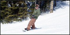
It was a beautiful day to be there. Could have used a bit of powder, but the sun, blue sky and warm temps were very tolerable....
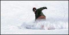
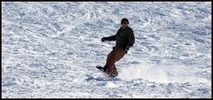
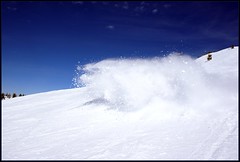
Trenton was too tired after 2 days of State Championship Wrestling to come along, so it was just me and Tate. He spent the day douching dad every chance he got. And he got plenty of those! Hell, I even got myself a dozen times or more. The light wind was just right to blow (toe side turns) snow right in your face! Brain Freeze!
I saw fresh cat tracks, yes cat, meow, above the terrain park. Didn't think too much about it till I read on one of the boards at the bottom of the hill that a Lynx had been spotted over in the Chief Joseph bowl. Pretty Cool!
But yeah, Spring conditions for sure......


Subscribe to:
Comments (Atom)
